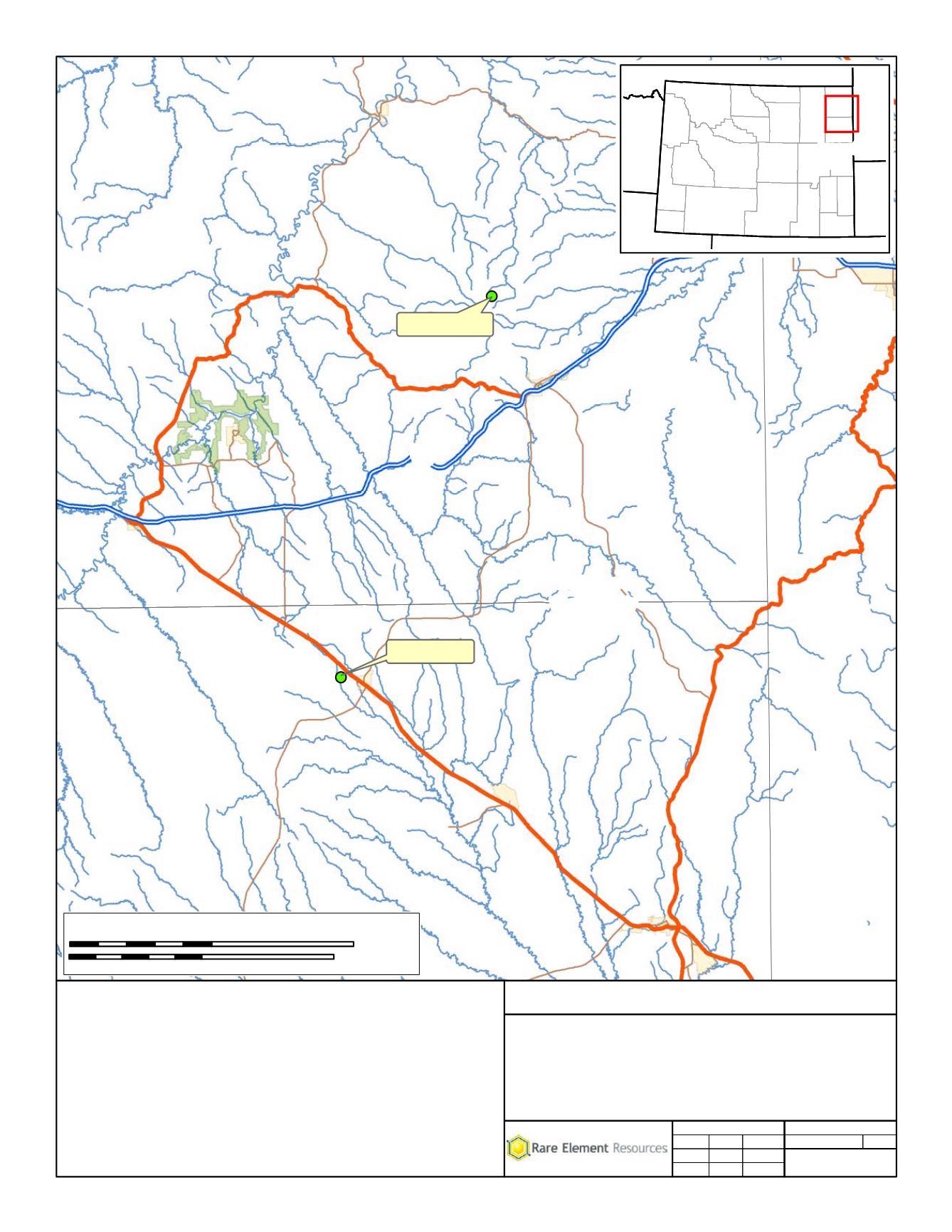
MAP 3.0-1
Black Hills
National Forest
Black Hills
National Forest
Bull Hill Mine
Upton Plant
Crook County
Weston County
Crook
Weston
North Spearfish
Spearfish
Hill View Heights
Moorcroft
Newcastle
Osage
Pine Haven
Sundance
Upton
Belle Fourche
Hulett
U
V
116
U
V
24
U
V
585
U
V
116
U
V
451
U
V
112
U
V
113
U
V
111
U
V
450
U
V
34
£
¤
14
£
¤
14
£
¤
16
£
¤
16
£
¤
212
£
¤
14
£
¤
85
§
¨
¦
90
§
¨
¦
90
t
Area of
Map
Wyoming
General Location
Bear Lodge Mine
Rare Element Resources, Inc.
t
Project
Title
Scale = 1:500,000
File No.
Rev 0
2/27/2014
2/27/2014
2/27/2014
Review:
Check:
GIS:
Project No. 011-10
MAB
MAB
JST
Path: M:\Rare_Element\_ArcMap\POO\Map 3.0-1.mxd
Coordinate System: NAD 1983 UTM Zone 13N
0
10
20 Miles
0
15
30 Kilometers
4


